Among the numerous outlying islands of Hong Kong, Tung Lung Chau may not be as well known or attract as many visitors as
Lamma Island or
Cheung Chau. Yet Tung Lung Chau is actually one of the
premiere climbing areas in the city and boasts a very good campsite. And as we found on our first trip ever to the island one fine day last autumn, it also offers a very pleasant and scenic hiking trail.
The small and mostly un-inhabited island, located just to the south of the Clear Water Bay Peninsula, is a short ferry ride from either Shau Kei Wan Typhoon Shelter in Sai Wan Ho on Hong Kong Island, or Sam Ka Tsuen on the Kowloon side, though the ferries only run on weekends and public holidays.
 |
| Shau Kei Wan - Tung Lung Chau piers |
 |
| Our hiking route on Tung Lung Chau |
 |
| Tung Lung Chau Holiday ferry time table (Saturdays, Sundays and public holidays). This one was posted on the Tung Lung Chau end. |
Not being early risers, we went for the second ferry of the day going out from Sai Wan Ho. By the time we got to the pier, there was already a sizable queue --- families with small children going on a day outing, well-equipped fishing enthusiasts, or groups of young people carrying camping gears and sufficient provisions for an overnight stay. The ferry was close to full capacity with the holiday crowd.
The crisp blue sky made the ferry ride all the more enjoyable. The eastern end of Victoria Harbour was not very busy that morning, with just a handful of other ferries or barges sailing by. Passing the old fishing village of Lee Yue Mun, contrasted by the new high rises of Tseung Kwan O that followed, the ferry soon reached our destination.
 |
| Kowloon across Victoria Harbour, as viewed onboard the Tung Lung Chau ferry |
 |
| Kwun Tong skyline |
 |
| Barge sailing past Yau Tong |
 |
| Village in Lee Yue Mun |
 |
| Village in Lee Yue Mun |
 |
| Newly developed Tseung Kwan O |
 |
| Short detour to ancient rock carvings found on the island |
Before taking a flight of stairs down to the rock carving, one reaches a lookout point that offers a superb panoramic view of the southern part of Sai Kung.
 |
Observation point offering a 360 degrees panoramic view
|
 |
| Map at a lookout point |
 |
| Ancient rock carving on Tung Lung Chau, possibly depicting a dragon or some mystical creature. |
 |
| Opening of cave next to the rock carving |
 |
| East coast of Hong Kong Island |
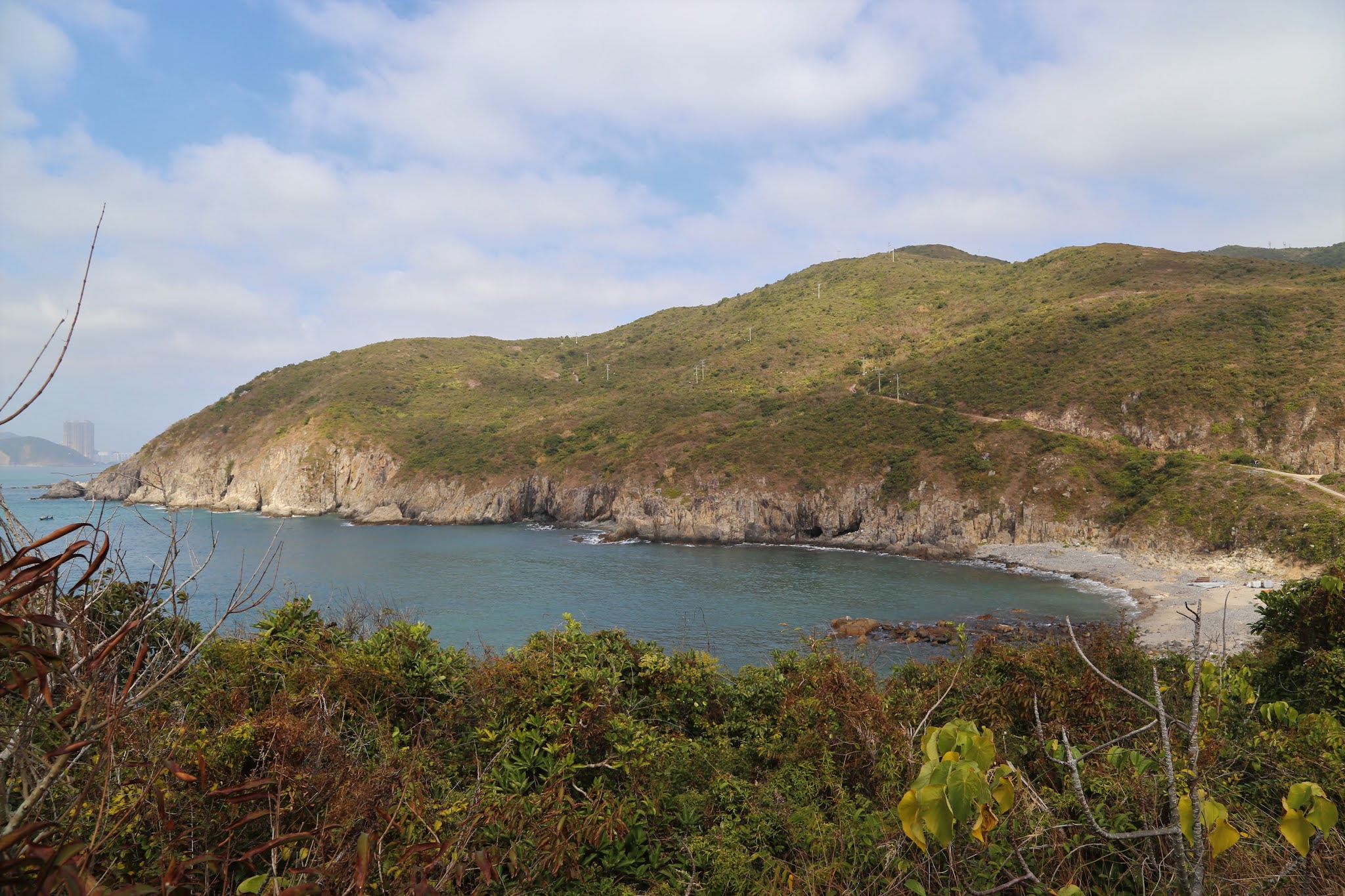
We took a second detour to Tathong Point (or Nam Tong Mei) 南堂尾, a peninsula at the southern tip of the island.
 |
| Luk Keng Wan 鹿頸灣 |
 |
| Cliffs at the southern tip of Tung Lung Chau |
 |
| Mementos of past visitors |
 |
| Earth or Mars? |
 |
| Fishing enthusiasts |
 |
| Daring angler |
 |
| Leisure |


Continuing on the main trek leads to Nam Tong Teng 南堂頂, the highest peak on Tung Lung Chau, where a helipad and an air traffic navigation station are located. The trek actually ends at this point. Just wondering whether we had to take the reverse route back to the pier, another hiker came by. He said there was a path besides the air traffic station that went down the hill. We doubted as there didn't seem to be a path that way. Sure enough, the hiker disappeared down the slope in no time. And there were actually people climbing up as well! So we decided to give it a try, mostly because we were not too keen on taking the same route back. To our surprise, there were a fair number of people climbing up, including young children, and a dog as well. It was not the easiest of treks, as one needed to give way to others going in the opposite direction while looking out for places on the rocks to put the next step. In any case, it was a fairly quick way to get down to an area close to the Tung Lung Chau Campsite.
 |
| Air traffic navigation station at the top of Nam Tong Teng 南堂頂, the highest peak on Tung Lung Chau |
 |
| Clearwater Bay Golf club in Sai Kung on the opposite side, and plenty of camps in the foreground. |
 |
| Blowin' in the wind |
 |
| Kite Rock |
 |
| Rock climbing on Tung Lung Chau |
A short distance from the Campsite, peopled gathered to watch an impressive display of waves washing up the northern shore of Tung Lung Chau.
 |
| Wave watching at the northern shore of Tung Lung Chau |
We ended the half-day visit of Tung Lung Chau by taking the 2:30pm ferry from the North Pier back to Sai Wan Ho. It was a delight to find a very beautiful small beach right besides the pier. Waves of the very clear turquoise sea washing up the fine sandy beach formed a beautiful picture. One almost would not imagine such clear water to be found in Hong Kong. It was a perfect conclusion of the pleasant outing.
 |
| Beach adjacent to North Pier |
 |
| North Pier on the left end of the beach |
 |
| Nice beach |
 |
| Beach besides Tung Lung Chau North Pier |
 |
| Waiting for the ferry at North Pier |
 |
| Ferry arriving at the pier |


No comments:
Post a Comment